 San Jose, CA:
If you want to extract the 3D shape of a scene from a moving camera’s imagery, you need to determine the precise position of the camera in all 6 degrees of freedom, for each image frame. It all gets calculated together in one giant mathematical nightmare. In the late 90s, my company pushed the limits of this computer science field, supported by US Marines, Army, Air Force, and DARPA.
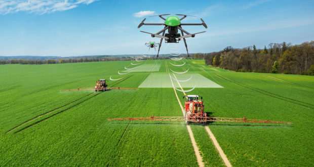
We built the first integrated navigational system for drones that combined GPS, inertial measurement unit (accelerometer) data, and computer vision data extracted from the scene imagery. The first application was precision agriculture, and the desired futuristic military application was turning battlefield video into 3D virtual reality models for military rehearsals.